

Add us as your preferred source on Google to see more of our content in Search.
 Add to Preferred Sources
Things are looking up in a swath of forest in southern Germany, thanks to innovative funding from the European Union for a project that aims to help policymakers better understand how the forest’s ecosystems work.
The ECOPOTENTIAL project uses satellite images for ecosystem modeling in 25 Protected Areas in Europe (as well as Kenya, the Caribbean, and Israel) to address climate change and other threats to ecosystems. In the Bavarian forest, the images and mathematical models of ecosystems, or “Earth Observation tools”, are helping to assess the impact of climate change and pollution, and shape national protection policies.
UN Environment is one of many partners supporting the 2015-2019 ECOPOTENTIAL project, funded by the European Union to the tune of 16 million euros.
“UN Environment works to integrate the scientific breakthroughs in Earth Observation into strategies and policies for protecting nature, including in post-2020 European Union environmental strategies, and for the implementation of the Sustainable Development Goals,” says UN Environment Environmental Policy Expert Magnus Andresen.
The Bavarian Forest National Park (Nationalpark Bayerischer Wald, in Germany) and the neighboring Šumava National Park (Czech Republic) form the largest area of closed forest in Central Europe – one of the very few natural forest ecosystems remaining in the Central European mountains.
The park’s tree species diversity is relatively low due to natural factors. This makes the forest particularly sensitive to changing environmental conditions. For example, in the lower altitudes of the park, former plantations of spruce (naturally only dominant on the highest ridges) are being replaced by deciduous species, mainly beech.
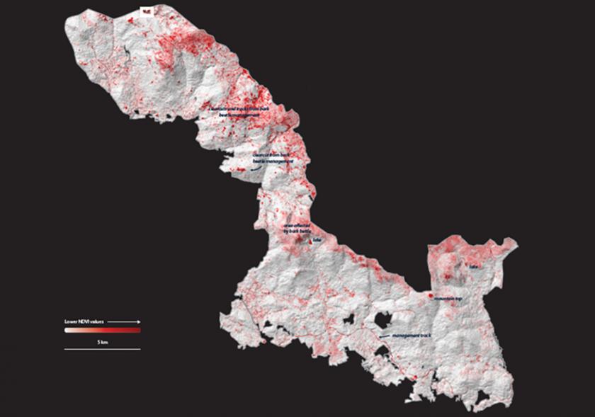
Within the ECOPOTENTIAL project, Earth Observation tools and “remote sensing”, including by aircraft and drones, are being used to better understand how vegetation is evolving across the park and over time.
Satellite and drone pictures are detecting patterns of dominant plant species, linking habitat characteristics with terrain, and tracking animal movements. The park administration is also carrying out intensive research on tree regeneration, the role of dead wood, and the impact of global warming and extreme climatic events on the future development of these ecosystems.
Funding for this project comes from Horizon 2020, the biggest EU Research and Innovation Programme ever with nearly 80 billion euros of funding available over seven years (2014 to 2020).
Original source: UN Environment
Published on 15 August 2018