
Add us as your preferred source on Google to see more of our content in Search.
 Add to Preferred Sources
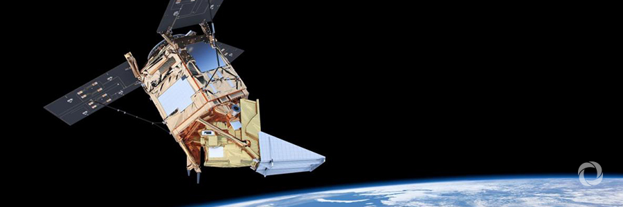
The Copernicus Sentinel-5P satellite, operational since early 2018, is starting to return high-resolution maps of air polluting gases that are invisible to the human eye. Amongst the first images released by mission scientists were plumes of nitrogen dioxide flowing from power plants as well as traffic-choked cities in Europe.
The satellite can produce daily global maps of the gases and particles that pollute the air. “While pollution puts the health of millions of people at risk, it is important to understand exactly what is in the air so that accurate forecasts can be issued, and, ultimately, appropriate mitigation policies put in place,” the European Space Agency says.
One unique aspect of the mission is that Sentinel-5P can measure pollution emitted by individual cities or parts of a city. This is crucial because the information currently used in emission inventories is compiled largely from statistical information on areas, including industrial sites, population density and traffic. These inventories are usually not updated on a regular basis and are subject to national reporting, which can vary from country to country.
Data from the satellite, free of charge and open to anyone, will be used by the Copernicus Atmosphere Monitoring Service to issue forecasts and, ultimately, help put mitigation policies in place.
Furthermore, it will open new opportunities for owners of small and medium enterprises as well as start-ups. For instance, the data could allow for the development of air quality and atmosphere-related applications including timely air quality information updates and notifications of high ultraviolet radiation via mobile applications or text messages.
“The Sentinel-5P satellite allows us to see and measure air pollution much more accurately,” says Sean Khan of the Global Environmental Monitoring Air Unit at UN Environment. “This newly available high-quality air pollution data has the potential to improve spatial coverage of air pollution and enable governments—particularly in developing countries—and other stakeholders working on the impacts of poor air quality on human and environmental health to develop effective policies to address the problem.”
Original source: UN Environment
Published on 7 November 2018