
Add us as your preferred source on Google to see more of our content in Search.
 Add to Preferred Sources
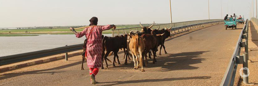
In the Sahel, climate change has translated into more frequent, longer drought spells that threaten the resilience capacity of nomadic livestock pastoralists. Freshwater points are scarce during the dry season and many animals are at risk of dying before reaching the next oasis.
When droughts occur, herders can cover several hundred to thousands of kilometres before finding an adequate water spot with enough water and vegetation to meet the needs of the many herds gathering there.
“To decide where to go, pastoralists typically pay an emissary to check out the area they have in mind as their next destination and report back. It takes at best a few days to get the information by motorbike, weeks if the journey is undertaken by camel. It is costly, slow and risky,” says Abdoul Aziz Ag Alwaly, Head of Programmes of local non-governmental organization TASSAGHT who works with pastoralists in the Sahel.
But with satellite imagery, information on water and vegetation cover is available in real time, with enormous benefits for the herders, saving them time, money and, potentially, their livestock.
Thanks to mobile phones, this information is literally at their fingertips. Adoum is one of 21,000 pastoralists who use the Garbal mobile phone service to find where the best conditions are to move their herd. Garbal, a service privately operated by telecom company Orange Mali, was established by the Sustainable Technology Adaptation for Mali’s Pastoralists (STAMP) project in November of 2017. It aims to improve the resilience of pastoralists to climate change through the access and use of geo-satellite data.
Launched in Gao one year ago, the Garbal service has been highly successful—98 percent of users are satisfied or very satisfied with the service and 97.6 percent praise the accuracy of the information.
“Water scarcity is one of the most pressing challenges we are facing today, and ensuring access to abundant, safe, clean water sources is a great challenge, particularly in arid and semi-arid environments,” says Lis Mullin Bernhardt, a freshwater expert at UN Environment. “Projects such as this one are a great complement to UN Environment’s work on managing freshwater ecosystems and helping communities affected by severe droughts. Further, we consider satellite imagery a powerful tool to assist countries in monitoring and implementing the Sustainable Development Goals (SDGs), particularly by using earth observations in the context of the water-related goal, Sustainable Development Goal 6. ”
Original source: UN Environment
Published on 17 January 2019