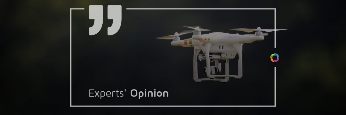
Whether delivering goods to remote areas or undertaking terrain mapping or structural damage assessment, drones are increasingly being used for humanitarian aid. For health workers in remote areas and regions, transportation challenges can disrupt the provision of quality care to children and pose constraints to early diagnosis. We asked the opinion of several consultants about the way drones are changing the humanitarian aid sector.
What are the major impacts of drones for humanitarian aid?

“The impact is particularly significant in three fields: search and rescue, mapping and cartography and special cargo transport. Drones are really a game-changer in these fields, providing either new services, such as high-precision mapping or delivering services more quickly faster and safely, such as the delivery of medicine or the search for victims. Nowadays there is a clear trend within the humanitarian aid sector to foster and adopt disruptive technologies. However, we should keep in mind that the cost-benefit ratio should be thoroughly evaluated before any operational deployment of new technology, as resources are more than precious in the humanitarian sector and the impacts have severe consequences.”

“Nowadays, drones are the best gift that technology has provided us with. In humanitarian aid, drones can be used for diagnostic purposes and to look for soft areas to install refugees. They it can also be used to assess different places as being the best project for refugees or people in need. By overlapping other indicators, through drones’ imagery we may evaluate geographically the impact of WASH projects, for example. There is even the possibility of sending essential items to save lives, such as blood, from place to place.”
Can you offer some examples of the use of drones in humanitarian aid?

“The technology of drones for mapping and cartography is quite mature and can be leveraged to map very precisely limited areas (up to a few sq.km), generally in any application supporting urban planning such as damage assessment or vulnerability mapping. Special cargo transport, encompassing the delivery of food and medical supplies, has recently become possible following the development of the technology allowing drones to transport heavier loads. It is mainly used for last-mile deliveries of medicines in remote locations.”

“When a natural disaster occurs, TerraData collects high-quality satellite images of the impacted area and analyzes it with priority given to humanitarian operations and disaster relief assistance (food security, health, wash, shelter, access/logistics and security). Specific and additional analyses are carried out using drones with a change detection methodology. Drones allow the production of high-quality maps, 3D models of the territory and structures, elevation, morphology and vegetative stress. Each element of the territory can be automatically identified. Further analysis is conducted through specific artificial intelligence algorithms. This allows the automatic assessment of the impacts on agricultural value chains and food security, on structures such as houses, shelters, public buildings and roads and on coasts, forests and local biodiversity. Any change produced by natural disasters over large areas is detected. Information is shared with communities and partners through an online data viewer.”
How do you see the future of drones in humanitarian aid?

“Drones for search and rescue operations are a mature application being adopted amongst many rescue-teams worldwide, as the technology is relatively affordable. Mapping and cartography by drone in the context of humanitarian aid is still facing bottlenecks for wider adoption. Flight preparation, taking into account the requirements of imagery processing and the pre-processing of the imagery itself (orthorectification and mosaicking), requires highly skilled people and dedicated software. Moreover, during a flight, thousands of images could be acquired so a powerful computer is needed during the processing phase. Despite providing imagery at a very high resolution (up to a few cm), the imaging capacity of a drone is limited to a few km², whereas satellites can cover hundreds of km². In my opinion, it is likely that, in the near future and in the context of humanitarian aid, the usage of drones will be limited to very local actions to cover specific needs such as, like for example, the mapping of a watershed to study the construction of a micro-hydroelectric power station.”

“Drones offer significant legal uncertainty, limited or negative consumer interest and awareness across Africa and challenges around integrating the devices with manned aerospace. As costs lessen, they present additional risks regarding ethics, privacy, cybersecurity, data security, safety, militarization and brinkmanship. However, this report considers if drones are to be South Africa and Africa’s future and they need to consider the extent to which effective governance is actually enacted and secured. They need to assess costs against benefits, comparing drones to international counterparts and their technical standards as performance indicators.”
Check more than 300 job opportunities in Humanitarian Aid & Emergency here.

